According to Mark Zacharias, acting assistant deputy minister for GeoBC (nice position Mark... he was a master's student at U Vic when I was doing my degree in geography/GIS there),
by making this available on Google Earth, "not only will you be able to zoom in on an area and get a high-resolution view, you'll also be able to download about 600 different themes from the provincial geo data warehouse." The Government hopes that this information will drive innovation and new business opportunities in B.C. I'd like to know, can you view and download BC TRIM data files using this method though? TRIM files are 1:20K topo files (digital) that are akin to a USGS topo DRG file - it's been some time, however, in the past contractors had to pay big $$ to get digital TRIM data - a public GIS data product. Source: Vancouver Sun
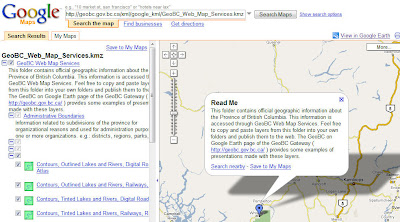
For data see - GeoBC Web Map Services (KMZ) This package contains a variety of layers such as Agricultural Land Reserves, Contours, Lakes, Rivers, Roads, Railways, Imagery, Lot Lines, Map Grids, and Parks and Protected Areas. Selected BC Park Profiles (KMZ), This package contains links for selected BC Parks to the web page containing information about that park. Note, you can also copy/paste these links into Google Maps for preview.


No comments:
Post a Comment