 For more on Maker! See also http://www.geocommons.com/

September 30, 2008
GeoCommons Maker! discover geospatial data and make your own maps
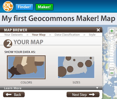
I've been messing around a bit with GeoCommons Maker! - coming to the public this week - sorry but you'll need to wait to try it for yourself - thanks Sean! You may already be familiar with the cool, GeoCommons Finder! web service (http://finder.geocommons.com/) enabling users to discover a wealth of geospatial data being shared with the community. Well now, this week the developers will be rolling out even more functionality to the GeoCommons portfolio in a service called Maker! Using GeoCommons Maker!, users can create a user account, search and discover data, save their maps, and share them. Obviously, the key component of Maker! is the "create" component. Once logged in, creating your own map is a snap. Search the vast data holdings and preview data, then create a custom my by adding your own clever title, add data, them your data in a number of ways, select a base map of choice from a number of open data providers. You can read more about Maker! in this piece that I just cranked out... I'm sure you'll enjoy Maker! once it's live...
 For more on Maker! See also http://www.geocommons.com/
For more on Maker! See also http://www.geocommons.com/
Subscribe to:
Post Comments (Atom)
3 comments:
Funny.. they told me there is a posting embargo until tomorrow.
yes indeed Chad, there likely is an embargo on the "press" but as you can see this isn't a press announcement, rather I was provided with pre-release access and told that I am welcome to discuss - maybe next time I'll check with you first! ;0)
This is a great looking application, congrats Maker! team. I like the fact you can import already existing data sets, define colors and tweak the representation options. Too bad there is a limit on a number of data sets that can be imported..
The Maker is similar to UMapper in a sense that you can use any background map layer and import existing maps but there are significant differences since both applications address different problems.
Post a Comment